
Harris Aerial — Industrial UAV Solutions
Precision-
Engineered
Heavy-Lift Drones
USA-made heavy-lift platforms engineered for limitless persistence and professional integration.


H4C Quad.
Compact Power.
Redefining compact heavy-lift. True payload superiority in a proprietary airframe that shrinks to fit in a standard transport case. Deploys in seconds. Performs for almost an hour.
Reserve the H4COne Airframe.
Three Formats.
Unparalleled modularity. Convert between Hybrid-Electric, Fully-Electric, or Hydrogen fuel cell power in under 15 minutes. Multi-hour flight endurance meets ultimate mission flexibility.


Harris Aerial Carrier H6HL | Unmatched Heavy-Lift Capability
HARRIS AERIAL HX8T | Persistent ISR in Action
Harris Aerial Demo Day with Duncan-Parnell | LiDAR & Sensor Integrations
H4C Drone LiDAR Demo -- TopoDOT 2026
H6 Hybrid EFI Drone LiDAR Demo - TopoDOT Conference
Harris Aerial Drone LiDAR Demos - TopoDOT 2026
Carrier H6HL Drone + Hyspex VS-620 - Mining Application
Harris Aerial Features Sentera + SPH Engineering
H4C + Sentera 65R High Res RGB
Important: No API Key Entered.
Many features are not available without adding an API Key. Please go to the YouTube Feeds settings page to add an API key after following these instructions.
Defying
Limits.
In a heavy-lifting weight class of its own. Engineered with over 300 lbs of available thrust to effortlessly transport monumental payloads and the most demanding professional equipment.
Blue UAS Cleared Fleet.
Blue UAS — “blue drones” — is a U.S. DoD initiative built by the Defense Innovation Unit and now maintained by the Defense Contract Management Agency (DCMA), which vets drones against strict government standards for cybersecurity, data privacy, and operational reliability. Three Harris Aerial heavy-lift models are now on the Blue UAS Cleared List. For how that fits the wider picture, see our guide to what the DJI ban actually restricts.
NDAA Section 848 Compliant
A trusted supply chain verified to comply with NDAA Section 848 — no critical components from restricted countries, meeting U.S. government cybersecurity standards end to end.
Protected From FCC Restrictions
Recent FCC rules blocking new foreign-made drones make Blue UAS status a guarantee of long-term availability, support, and spare parts for federal programs.
No Exception-to-Policy Delays
Blue UAS approval removes the need for DoD buyers to file ETP requests, enabling rapid procurement through channels like DLA TLS or GSA.
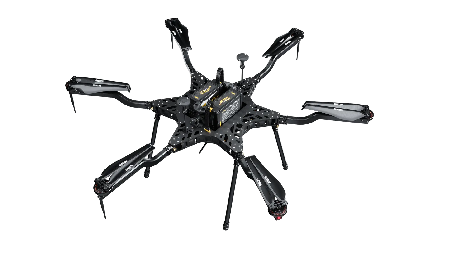
Carrier H6 Electric
The secure, high-precision electric heavy-lifter. DoD-tested data links and Dual RTK GNSS.
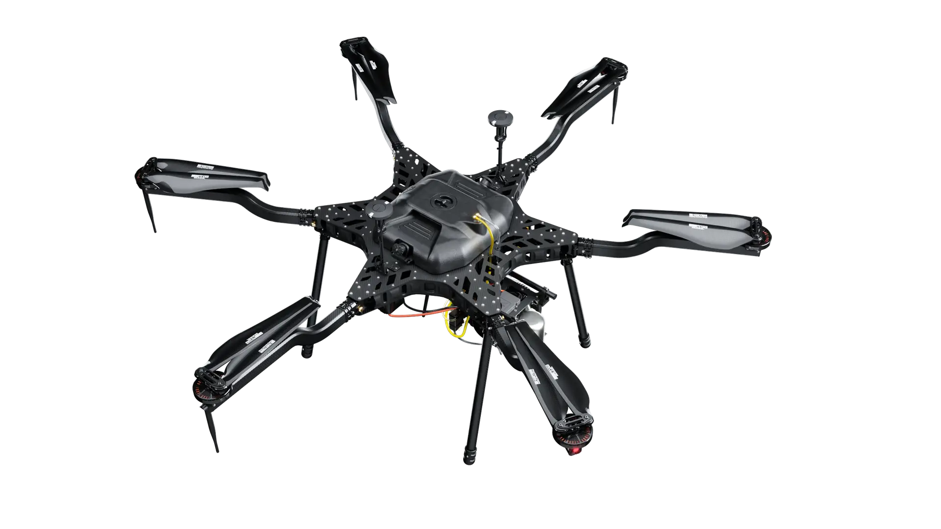
Carrier H6 Hybrid EFI
Multi-hour persistent overwatch, fully vetted for federal use. Ideal for border & infrastructure surveillance.
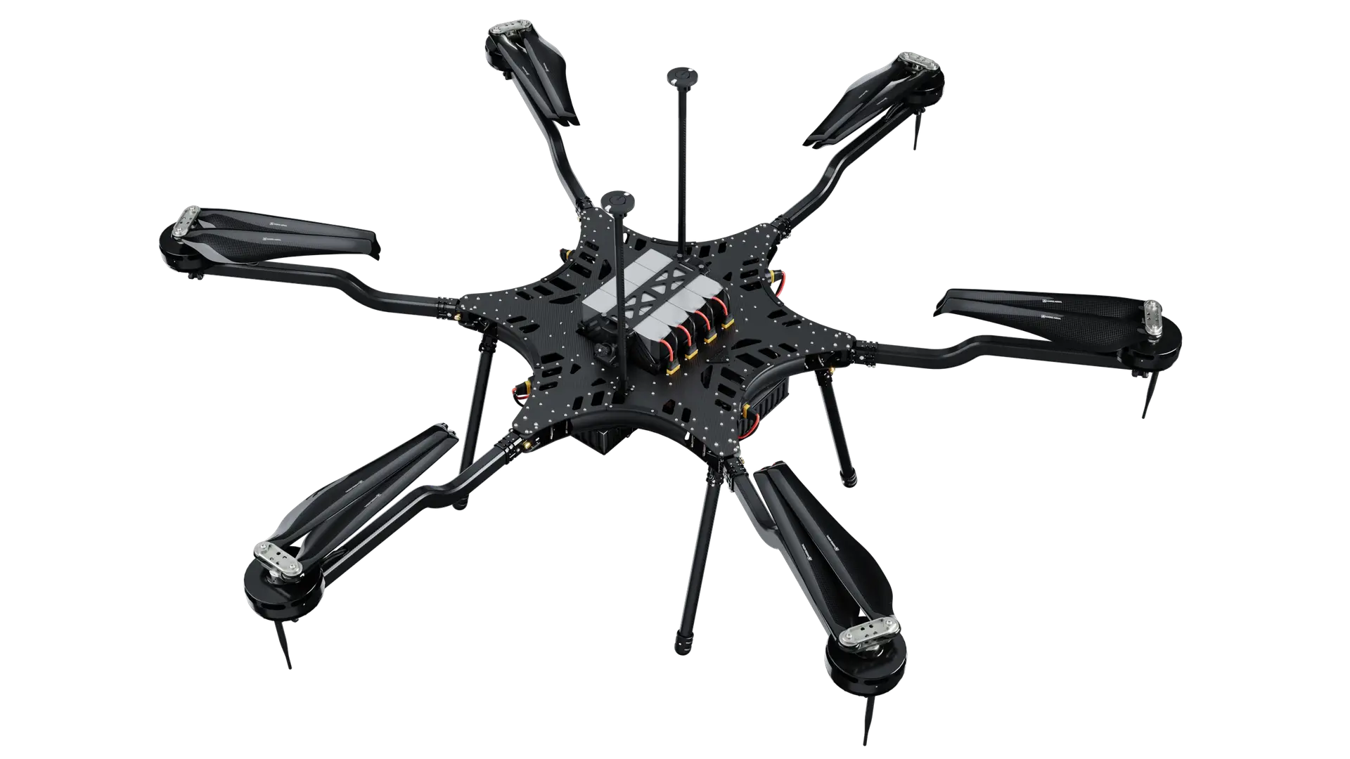
Carrier H6HL
A unique extreme heavy-lift asset on the list. Secure command & control meets monumental payload capacity.
As one of the few American manufacturers with multiple Blue UAS cleared heavy-lift platforms, Harris Aerial gives federal agencies, defense contractors, and security-conscious enterprise buyers a single source for NDAA-compliant heavy-lift drones — built around U.S. government cybersecurity standards, NDAA Section 848 compliance, and a trusted drone supply chain.
Limitless Overwatch.
Built for high-stakes deployments. Uncompromising coaxial motor redundancy in a foldable USA-made airframe. Stable hover, professional payload integration, and mission-critical reliability across the most demanding industrial, scientific, and military applications.
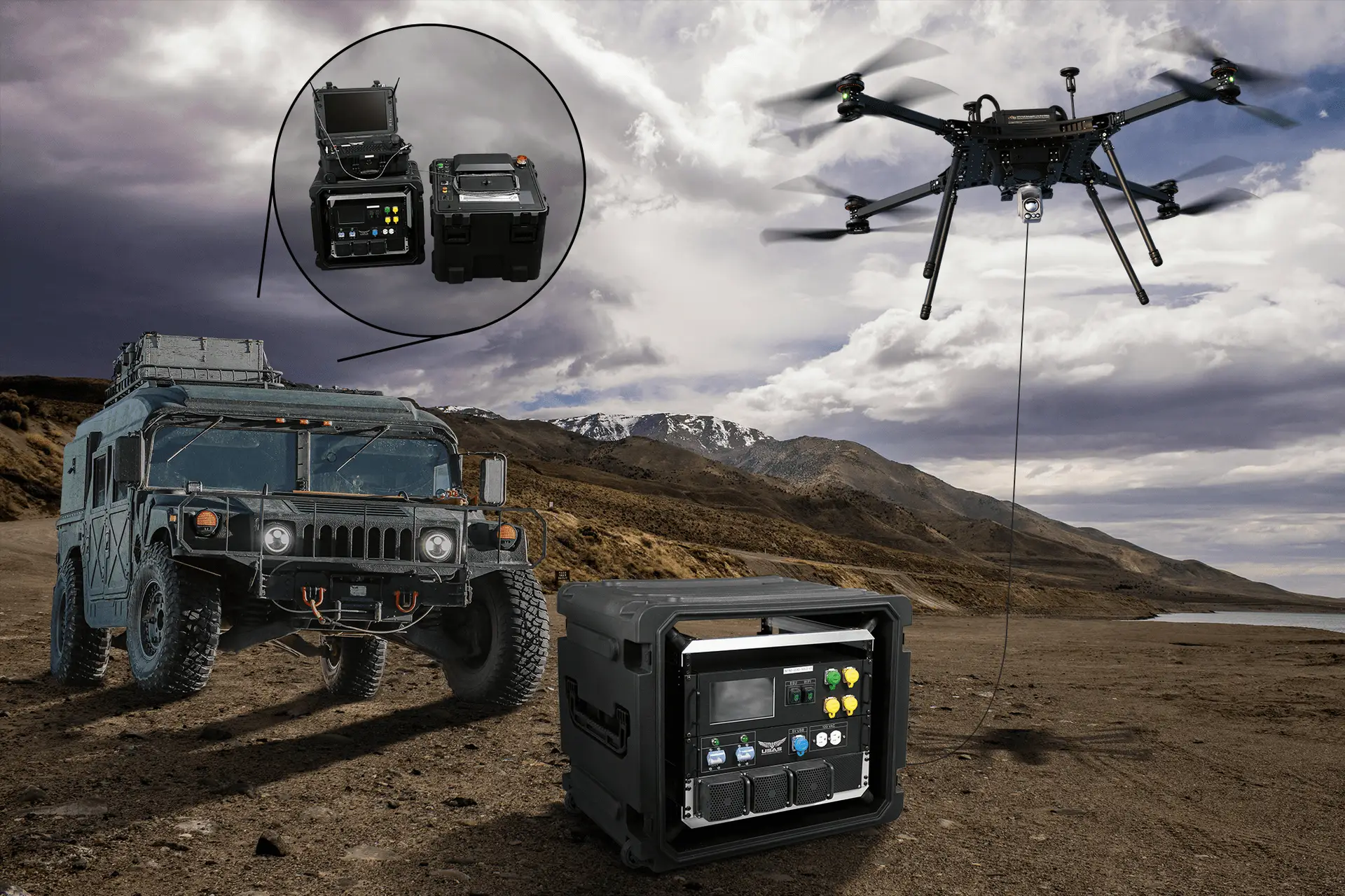
Persistent. Unjammable. Unlimited.
The HX8 paired with the LEAP Solo 5K tether system. 5 kW continuous shore-fed power, up to 30 Gbps secure fiber-optic data, and persistent overwatch for up to 24 hours at up to 400 ft AGL.
Heavy-Lift Drones Built for Every Mission Class.
Four purpose-built airframes — from the compact H4C Quad to the heavy-lift H6HL. Every platform shares the same Universal Quick-Release Connector, so payloads move with the mission.
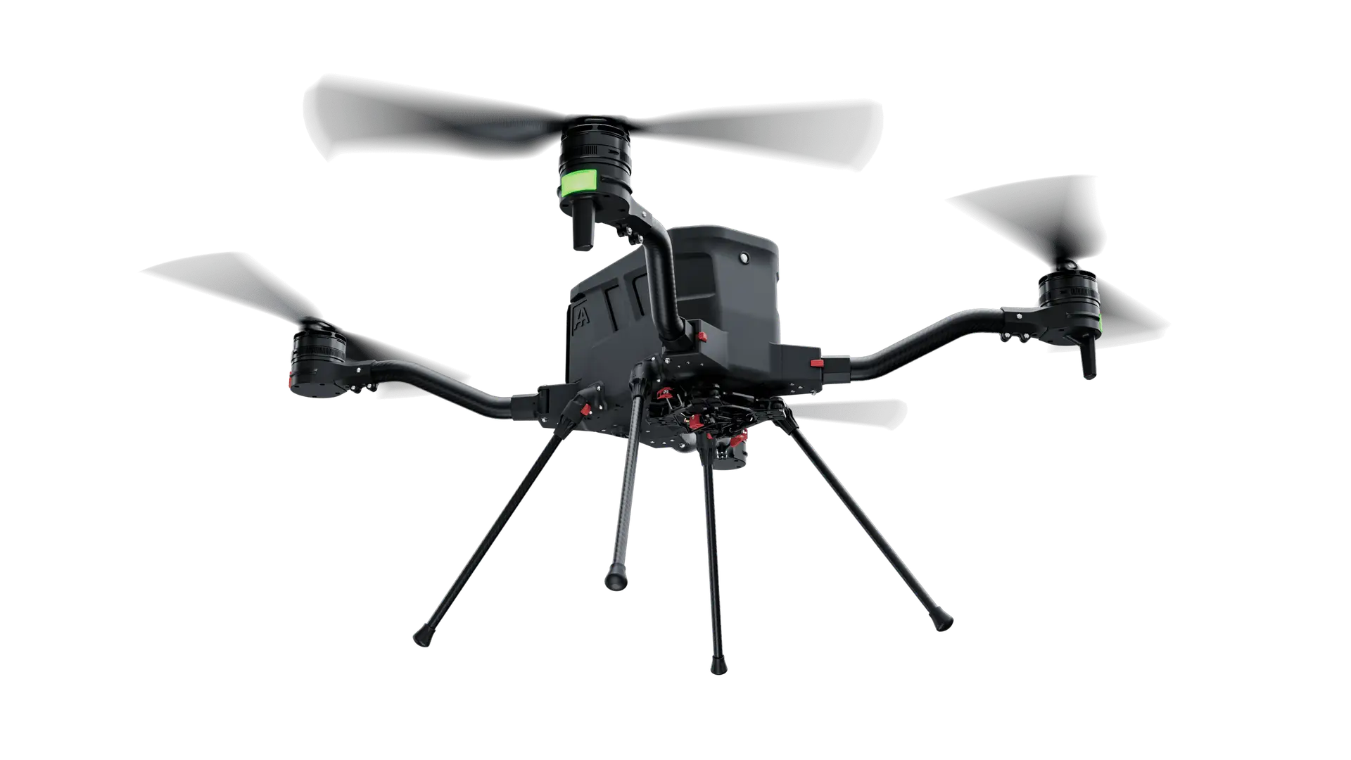
H4C Quad
Compact heavy-lift in a transport-case footprint. Pre-orders open — shipping end of Q1 2027.
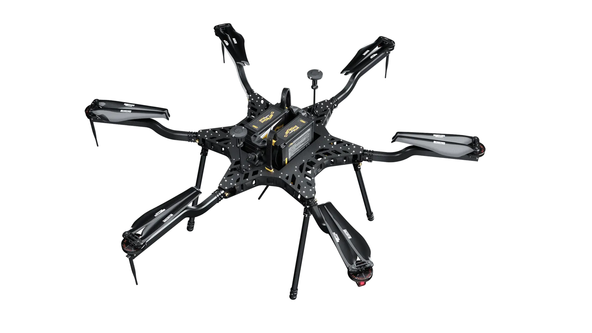
H6 Family
One hexacopter, three power formats. Convert between Electric, Hybrid EFI, and Hydrogen in minutes.
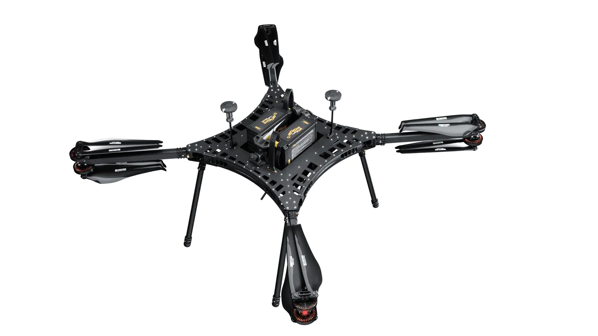
HX8
X8 coaxial motor redundancy for high-stakes deployments. Tether-ready for persistent overwatch.
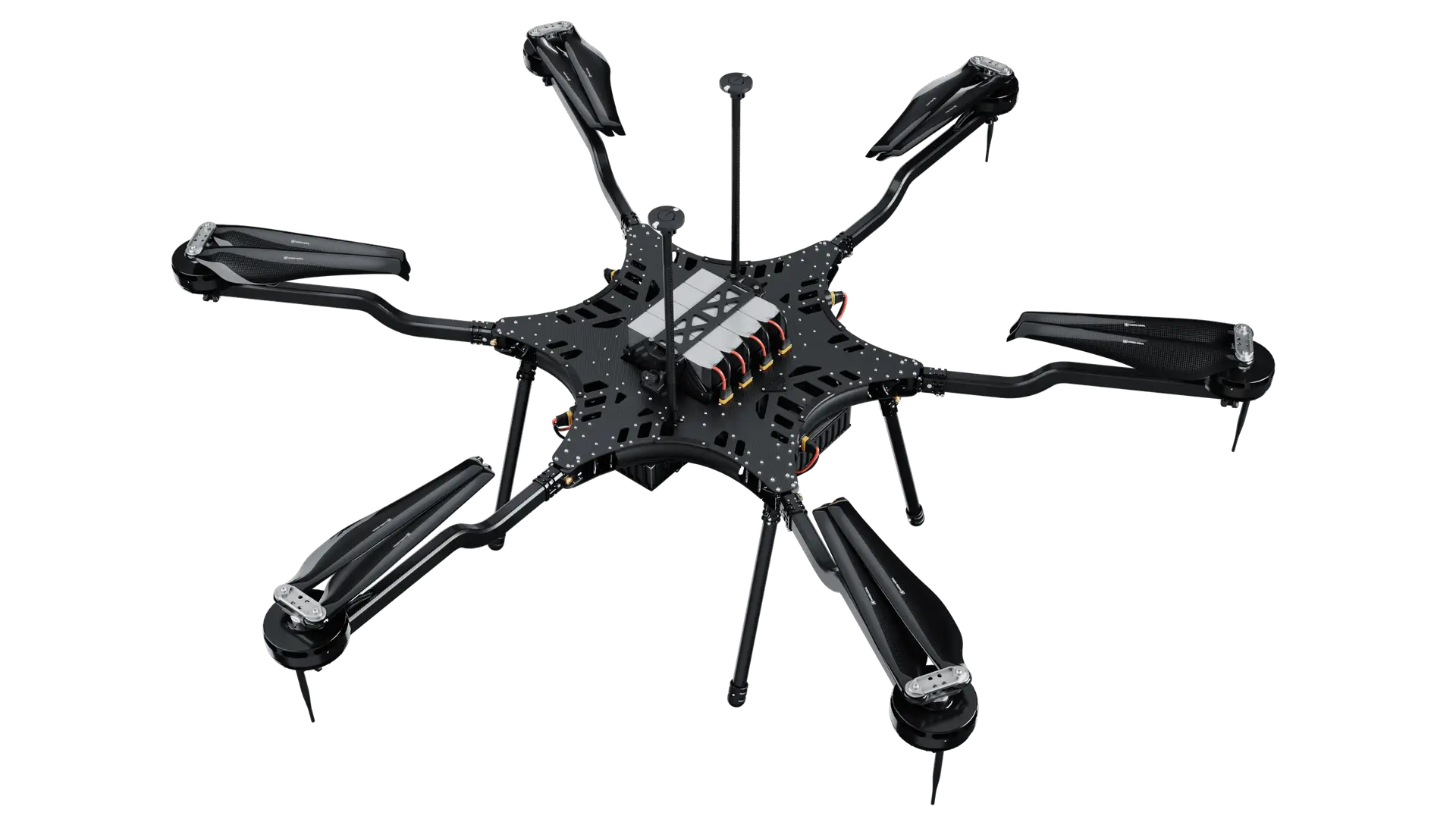
H6HL
10.4-foot wingspan and 300+ lbs of available thrust. Industry-leading payload capacity for monumental missions.
Find the platform for your mission.
Every Carrier platform is built to a payload and endurance class. Start from the work instead — each sector page maps the missions, the payloads and the airframe suited to them. Flying a scanner? The LiDAR drones page maps Phoenix, GeoCue and RedTail systems to the airframe that carries them, with flight-test data by payload.
Where it started vs. where it is now.
In 2014, most of the drone industry was focused on aerial photography. Ben Harris saw an opportunity to take the technology further.
From his grad-school apartment at UCF, he founded Harris Aerial to build heavy-lift aircraft for more demanding missions, with no venture capital and no roadmap, just family, friends and a lot of self-taught engineering.
Thank you to Jim Magill and Drone Life for sharing our story!
Want the rest? Ben explains why we design and build our own airframes in-house and what’s next with the H4C. Read the full story through the link in our bio.
#MadeInUSA #AmericanManufacturing #HeavyLiftDrones #DroneTechnology #FounderStory

The H4C brings a new mid-size platform to the Harris Aerial lineup, combining a compact footprint with the heavy-lift capability our aircraft are known for.
Designed for flexibility across a range of applications, the H4C gives operators a smaller platform without sacrificing the capability needed for demanding missions.
Here’s a closer look at the H4C and what it has to offer.
#Drones #UAS #DroneTechnology #UnmannedSystems #HarrisAerial
What an incredible week at Commercial UAV Expo 2026 in Las Vegas!
Proud to share that Harris Aerial was named one of the winners of this year’s Pitch the Press competition for our new H4C Quad. Huge thanks to the industry journalists and the Commercial UAV Expo team for the recognition.
Beyond the win, the best part was connecting with our industry partners, customers, and fellow innovators on the show floor. From conversations at our booth to demos and new collaborations, the energy across the commercial UAS community was outstanding.
Grateful for everyone who stopped by, shared ideas, and helped make this year’s Expo such a success. Looking forward to what’s next.
#ExpoUAV #CommercialUAVExpo #HarrisAerial #PitchThePress #madeinusa
Heavy-lift capability is only part of the mission. What you do with it matters.
At Harris Aerial’s Drone Demo Day in Apopka, Florida, the Carrier H6HL put its precision payload-delivery capabilities into action.
Built for demanding operations, the H6HL offers a payload capacity of up to 40 kg (88 lbs) — providing the power and flexibility to carry and deploy substantial payloads with precision.
From transporting equipment and delivering critical supplies to integrating specialized payload systems, the H6HL is a versatile, mission-ready platform designed to adapt to the operation at hand.
Link in bio to watch full video.
#Drones #DroneTechnology #UAS #HeavyLiftDrone #innovation
Some systems are built to fly. The HX8T is built to stay in the fight.
Captured in action at Harris Aerial’s Demo Day on July 21st, the Carrier HX8 Tether is designed for missions where endurance, payload capacity, and reliability matter.
With up to 21 lbs of payload capacity, 24 hours of persistent flight, operations up to 400 ft AGL, and 30 Gbps of secure fiber data, the HX8T combines heavy-lift performance with the power and connectivity required for sustained operations.
Paired with the @nextvision Nighthawk2-UZ, the HX8T brings advanced EO/IR capability to the air, delivering persistent overwatch and real-time situational awareness, even in RF-denied environments. Take a closer look to see how the HX8T can support your mission.
A special thank you to our partners at Duncan-Parnell Inc. for their support in bringing Demo Day together
Link in bio to watch full video.
#Drone #UAS #DroneTechnology #HeavyLiftDrone #innovation
We’re less than one month away from Commercial UAV Expo 2026!
Join the Harris Aerial team in Las Vegas at Booth 803 to see our latest drone platforms, training solutions, and mission-ready technology for aerial operations.
From NDAA-compliant, Blue-listed systems to real-world applications, we’re here to answer your questions and show you how we’re helping teams fly smarter, safer, and more efficiently.
Don’t forget to use our link in bio to register for a FREE exhibit hall pass or $100 off a Full Conference Pass!
🌎 Las Vegas, NV
📅 Sept. 1–3
📍 Booth 803
🎟️ 2026 Commercial UAV Expo (promo code UAVA2630123)
If you’re attending, stop by and say hello—we’d love to connect!
#ExpoUAV #LiDAR #hybriddrone #drones #lasvegas
Every mission demands something different.
That’s why the Harris Aerial platform family is built for versatility—supporting a wide range of payloads, mission profiles, and operational requirements without compromising performance.
Our demo day featured mission-ready integrations from @geocuegroup , @senterasensors , and @nextvision.ltd , highlighting how the right payload paired with the right aircraft can deliver solutions across surveying, mapping, inspection, public safety, defense, and more.
Here’s a look at the platforms, partnerships, and people driving mission success. Thank you to @duncan_parnell for partnering with us and helping bring this event together.
Link to full video in bio.
#drone #UAV #MadeInUSA #LiDAR #innovation
South Florida, come see us!
We’re excited to be attending the Florida Surveying & Mapping Society Conference with @fpiunmanned. If you’re in the area, stop by and meet the team—and don’t miss the LIVE demonstration of the Harris Aerial H4C paired with the @yellowscan_lidar Venturer on Thursday, July 30th at 2:00 PM.
See American-made, NDAA-compliant LiDAR technology in action. We look forward to seeing you there!
#LiDAR #drone #Surveying #Geospatial #NDAACompliant