GeoCue TrueView 535

Enhanced Vegetation Capture and Photogrammetry

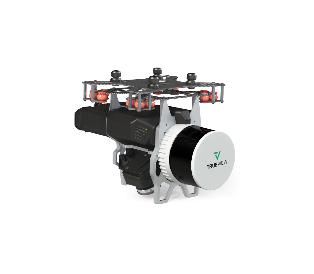
The TrueView 535 builds upon the success of our best-selling TrueView 515. We’ve added a third LiDAR beam return to improve vegetation capture detail, a third nadir camera to improve photogrammetry deliverables, and a longer usable LiDAR range to increase flexibility.

What's included

TrueView 535 3D LiDAR Payload

TrueView Battery & Battery Charger

USB Thumbdrive

GNSS Antenna

Sensor Hardcase

Accuracy Star

SOFTWARE/DATA MANAGEMENT

LiDAR & photogrammetry 3D point cloud software

LP360 Drone Processing Software

The professional choice in geospatial data processing software, made in the U.S.A. since 2006.

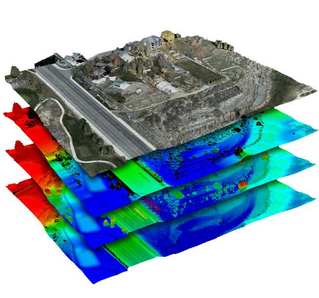
Whether it’s airborne or terrestrial collected LIDAR data, 3D point clouds have become a critical element in mapping. LP360, an advanced desktop LIDAR software package, makes easy work of extracting information and generating deliverables in an intuitive GIS environment.

Includes Strip Align, Photo, 3D Accuracy Add Ons

Specifications

Unveiling the Power and Performance Details

  • Data Collection LiDAR + Imagery
  • Laser Scanner Hesai M2X
  • LiDAR Range - Usable 120 m @ 20% reflectivity
  • LiDAR Beams/Returns 32/3
  • Cross-track Field of View (FOV)/Combined 120°
  • In-track FOV 40.3° (-20° to +19.5°)
  • Pulse Repetition Rate 640 kHz
  • Accuracy Typical 3 cm*
  • Precision Typical 3 cm*
  • Camera Sensor Triple 1’’ mechanical shutter, hardware mid-exposure pulse, 60 MP combined, RGB
  • System Operation Temperature Range -15° to 50° C
  • Mass 1.6 kg (payload unit only - no accessories including battery, mount, antenna, power adapter)
  • * 1 σ @ 50 m, nadir and with Strip Align

Contact us for a free quote today!