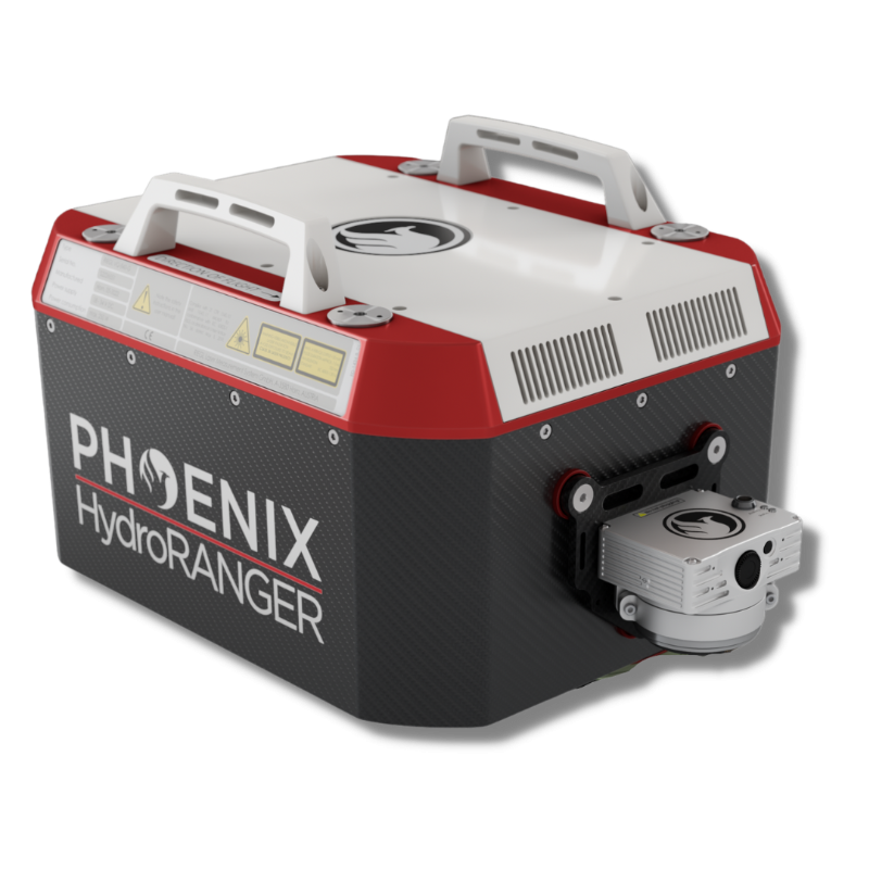
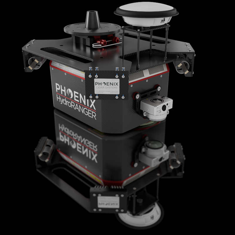
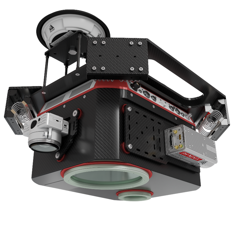
The HydroRANGER is an evolution of mapping technology. This Airborne Topo-Bathymetric (ATB) system provides dual purpose topographic and bathymetric measurements for full scene mapping of shoreline systems. Utilizing a visible green spectrum laser with an elliptical scan pattern and measurement rates up to 200 kHz, the HydroRANGER provides a combination of high spatial resolution and spatial accuracy. Capable of reaching beyond 2 Secchi depths, this is the ideal solution for mapping land-water interface environments along rivers, reservoirs, oceans, and more!
The newest generation, ultra-lightweight (450) rover will help meet the rigorous demands of various industries and applications by greatly increasing flexibility in two key areas: reducing weight for longer flight times on unmanned vehicles; and higher range with the highest resolution cameras on the market.
The new Phoenix LiDAR AIR NavBox offers the most industry-altering capabilities in a tiny box not much bigger than a standard-size computer mouse.
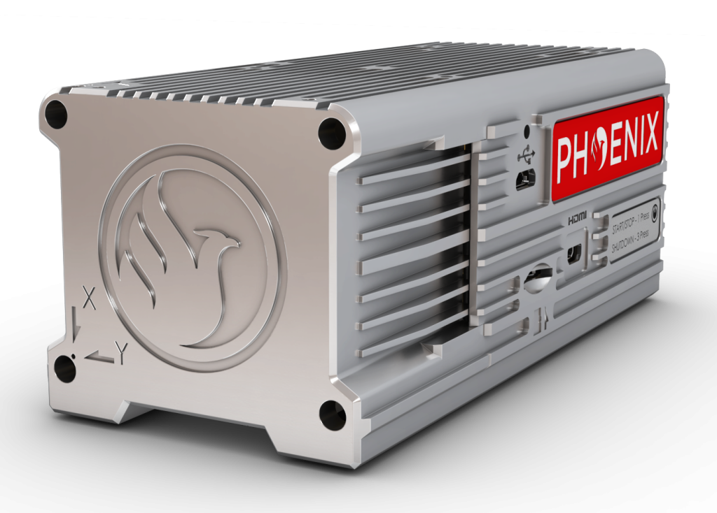
58.5 x 123 x 48.1mm
450g
CONSTELLATION SUPPORT:
GPS + GLONASS + BEIDOU + GALILEO
SUPPORT ALIGNMENT:
Static, Kinematic, Dual-Antenna
OPERATION MODES:
Real-time, Post-processing optional
ACCURACY POSITION:
1 cm + 1 ppm RMS horizontal
PP ATTITUDE HEADING:
RMS ERROR 0.01° IMU options
OVERALL DIMENSIONS (with AIR NavBox):
476 x 440 x 380 mm (with Heli Vibration Isolator)
432 x 334 x 202 mm (without Heli Vibration Isolator)
OPERATING VOLTAGE:
18 – 28 V DC
POWER CONSUMPTION:
122 W (typical) | 232 W (max)
OPERATING TEMPERATURE:
-10°C up to +40°C
WEIGHT:
21 kg / 46.3 lbs approx.(with Heli Vibration Isolator)
13 kg / 28.7 lbs approx.(without Heli Vibration Isolator)
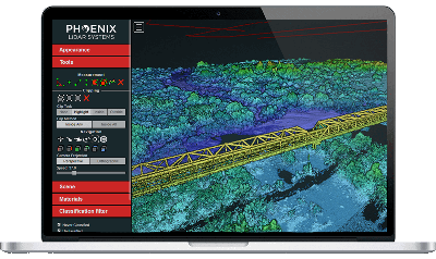
Phoenix LiDAR Systems provides a proprietary complete software suite for streamlined acquisition, geo-referencing, data fusion, export and post-processing in the cloud.