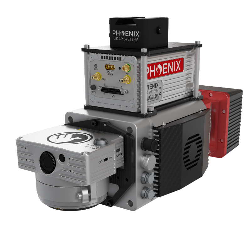
The miniRANGER-LITE is a system that features an impressive recommended AGL of up to 75 meters, filling a major AGL gap in the ultra lightweight UAV LiDAR market. With the photogrammetry package, operators of mid-size multirotors, like the DJI M600 Pro, can now simultaneously acquire survey-grade LiDAR data and high resolution 24 MP (up to 61 MP if required) RTK photogrammetry at up to 100 m operating flight altitude.
The NEW RANGER ULTRA includes Phoenix LiDAR System’s AIR NavBox. The newest generation, ultra-lightweight (450) rover will help
meet the rigorous demands of various industries and applications by greatly increasing flexibility in two key areas: reducing weight for longer flight times on unmanned vehicles; and higher range with the highest resolution cameras on the market.
The new Phoenix LiDAR AIR NavBox offers the most industry-altering capabilities in a tiny box not much bigger than a standard-size computer mouse.
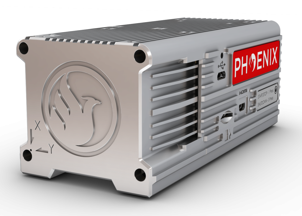
58.5 x 123 x 48.1mm
450g
CONSTELLATION SUPPORT:
GPS + GLONASS + BEIDOU + GALILEO
SUPPORT ALIGNMENT:
Kinematic, Single-Antenna
OPERATION MODES:
Real-time, Postprocessing optional
ACCURACY POSITION:
1 cm + 1 ppm RMS horizontal
PP ATTITUDE HEADING RMS ERROR:
0.019°
OVERALL DIMENSIONS (SENSOR)
Without A6K-Lite: 240 x 130 x 180 mm
With A6K-Lite:300 x 130 x 180 mm
OPERATING VOLTAGE:
12 – 28V DC
POWER CONSUMPTION:
Without A6K-Lite: 30W (typical)
With A6K-Lite: 38W (typical)
OPERATING TEMPERATURE:
-10° – +40° C
WEIGHT WITH A6K-LITE CAMERA:
2.5 kg
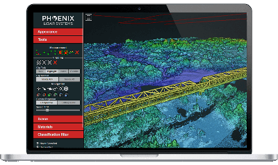
Phoenix LiDAR Systems provides a proprietary complete software suite for streamlined acquisition, geo-referencing, data fusion, export and post-processing in the cloud.

