GeoCue TrueView 435

The Economical LiDAR Scanner for Utility-Grade Mapping

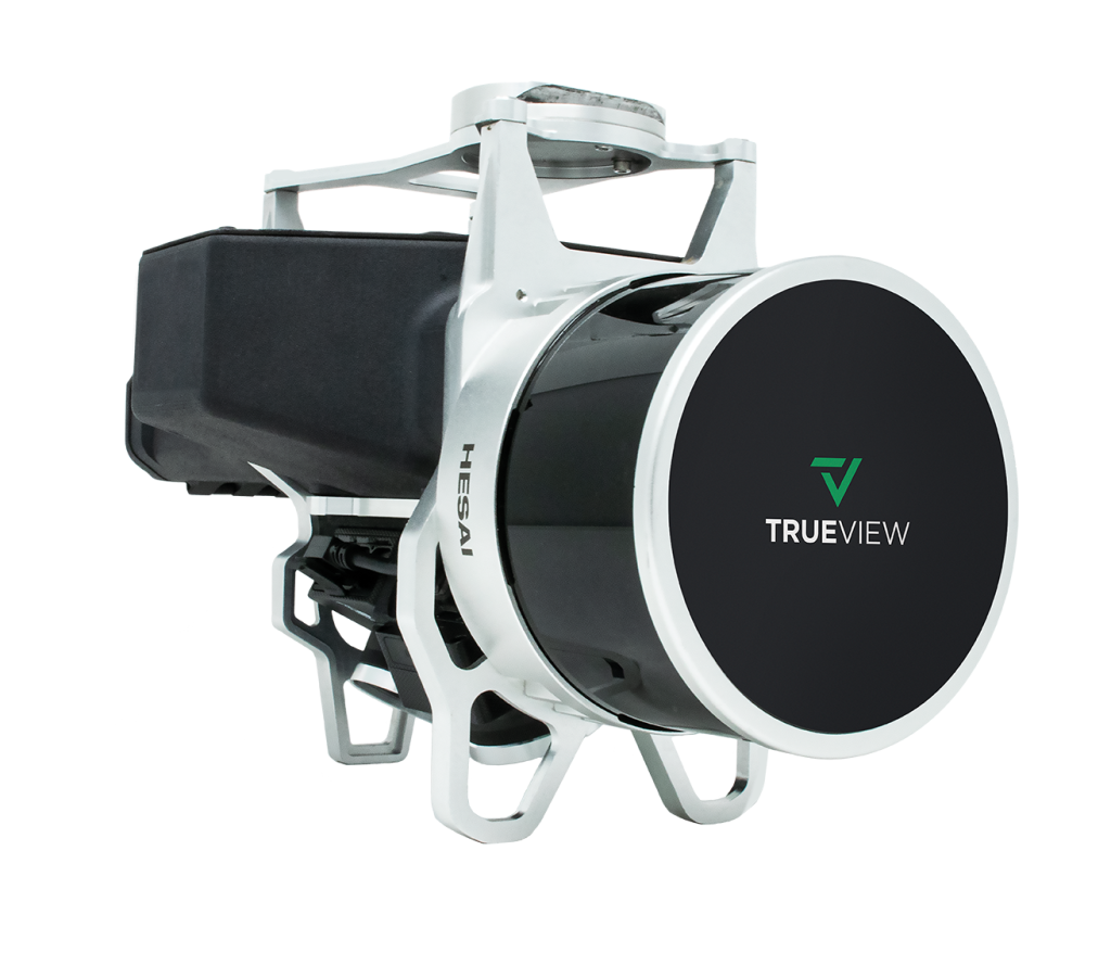
TrueView 435 is the most economical platform for utility-grade mapping. GeoCue’s TrueView 435 is our next generation compact 3D Imaging System that has sensitivity needed for infrastructure mapping. In addition, its superior ground capturing capabilities for lightly vegetated areas make this the most economical platform for utility grade-mapping.

What's included

TrueView 435 LiDAR Sensor Payload

External Power Adaptor

TrueView Battery & Battery Charger

USB Thumbdrive

GNSS Antenna

Sensor Hardcase

SOFTWARE/DATA MANAGEMENT

LiDAR & photogrammetry 3D point cloud software

LP360 Drone Processing Software

The professional choice in geospatial data processing software, made in the U.S.A. since 2006.

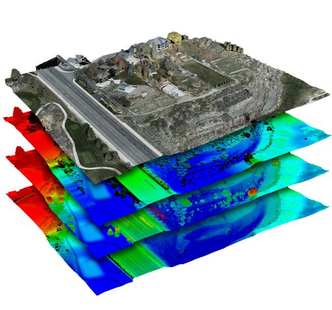
Whether it’s airborne or terrestrial collected LIDAR data, 3D point clouds have become a critical element in mapping. LP360, an advanced desktop LIDAR software package, makes easy work of extracting information and generating deliverables in an intuitive GIS environment.

Specifications

Unveiling the Power and Performance Details

  • Data Collection LiDAR + Imagery
  • Laser Scanner Hesai Pandar XT
  • LiDAR Beams/Returns 16/2
  • LiDAR Range 80 m @ 20% reflectivity
  • Pulse Repetition Rate 320 kHz
  • Cross-Track Field of View 120°
  • Position and Orientation System (POS) Applanix APX-15
  • Accuracy Better than 5 cm, RMSE
  • Camera Sensor 1’’ mechanical shutter, hardware mid-exposure pulse, 20 MP, RGB

Contact us for a free quote today!