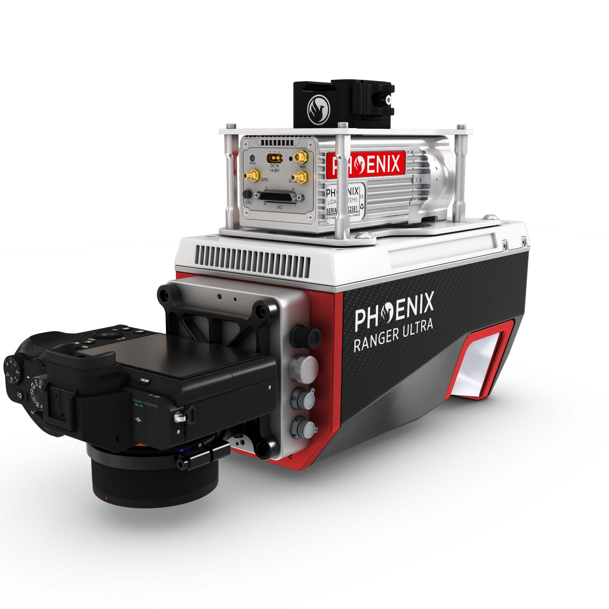
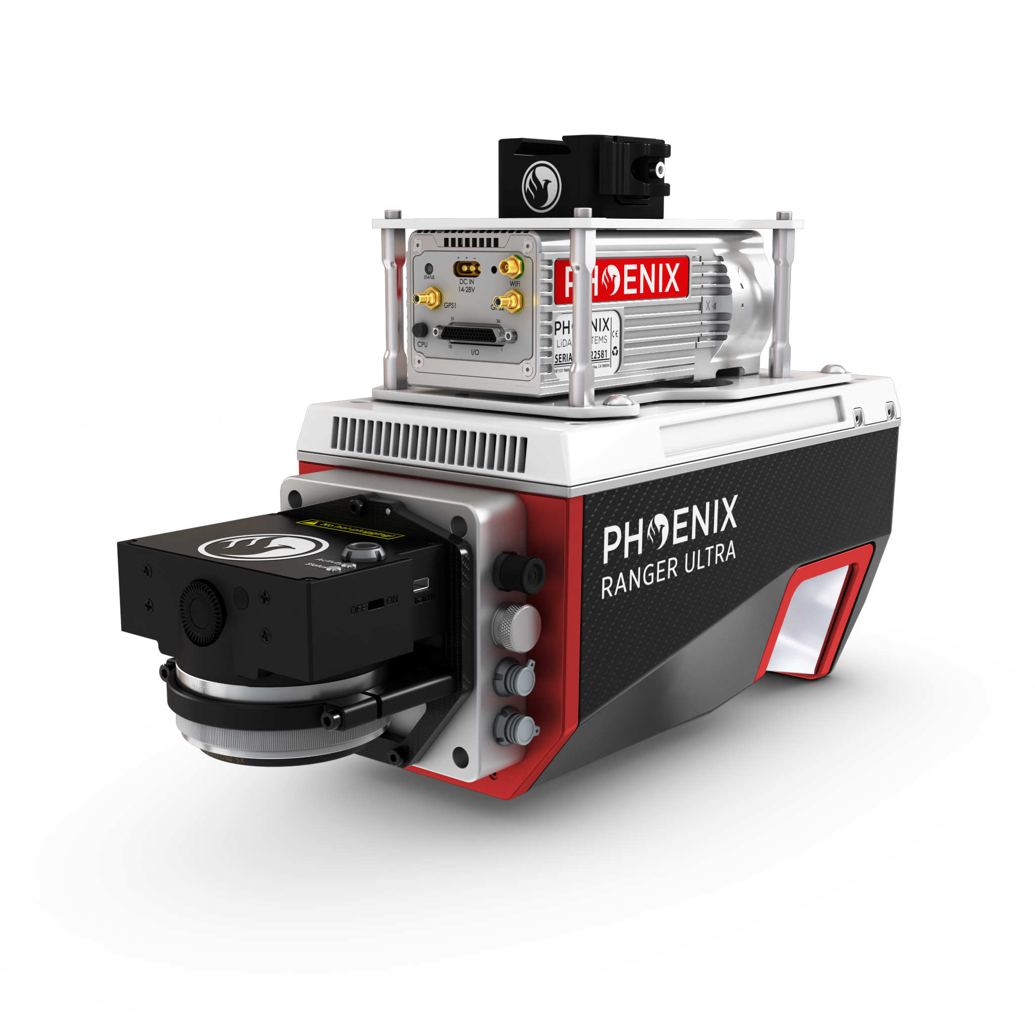
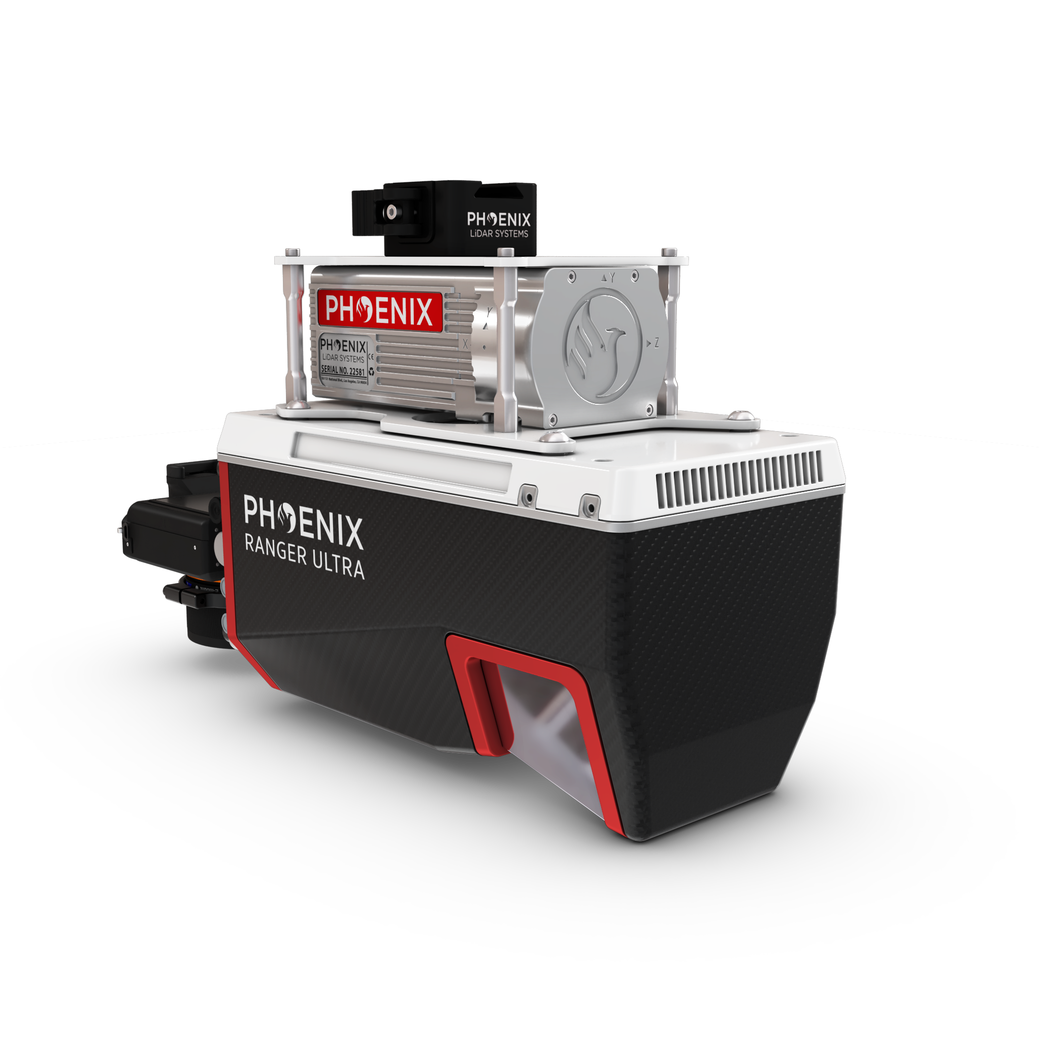
The Ranger ULTRA is an airborne laser scanner with an impressive combination of weight, range, accuracy and pulse rate. It is equipped with a unique forward and rear looking FOV designed to minimize laser shadowing and provide geometry on complex vertical structures on a single pass. With its wide field of view of 100 degrees and an extremely fast pulse repetition rate of up to 1.8 MHz, the Ranger ULTRA is perfectly suited for high point density corridor mapping applications such as power line, railway track and pipeline inspection.
Phoenix offers several Ranger ULTRA camera accessories as well as UAV and manned aircraft attachment options. Please visit our booth or website to learn more about this amazing new addition to the Ranger series
The NEW RANGER ULTRA includes Phoenix LiDAR System’s AIR NavBox. The newest generation, ultra-lightweight (450) rover will help
meet the rigorous demands of various industries and applications by greatly increasing flexibility in two key areas: reducing weight for longer flight times on unmanned vehicles; and higher range with the highest resolution cameras on the market.
The new Phoenix LiDAR AIR NavBox offers the most industry-altering capabilities in a tiny box not much bigger than a standard-size computer mouse.
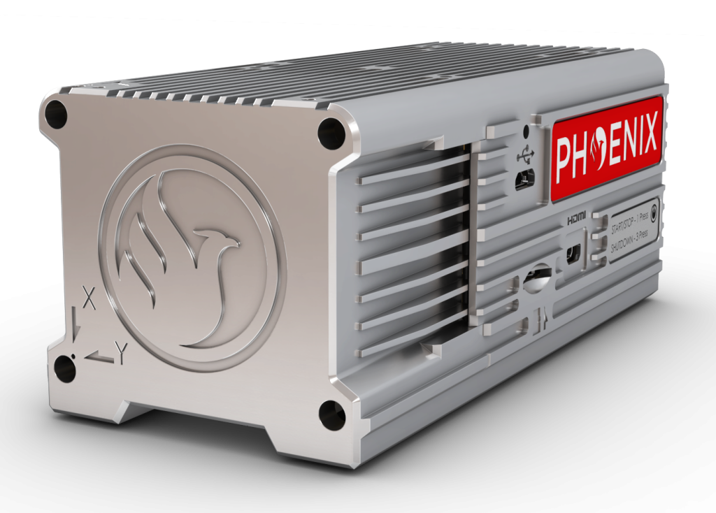
58.5 x 123 x 48.1mm
450g
Integrated AIR NavBox
Constellation Support: GPS, GLONASS, BEIDOU, GALILEO
Support alignment: Kinematic, Dual-Antenna
Operation Modes: Real-time, Post-processing optional
Accuracy Position: 1cm + 1ppm RMS horizontal
PP Attitude Heading RMS Error: 0.010° / 0.019°
Overall Dimensions (with AIR NavBox) 352 x 164 x 185 mm
Operating Voltage: 12-28 V DC
Power Consumption: 75 W
Weight: 3.5 kg / 7 lbs
Operating Temperature: 0˚ – 40˚ C
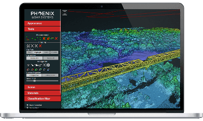
Phoenix LiDAR Systems provides a proprietary complete software suite for streamlined acquisition, geo-referencing, data fusion, export and post-processing in the cloud.